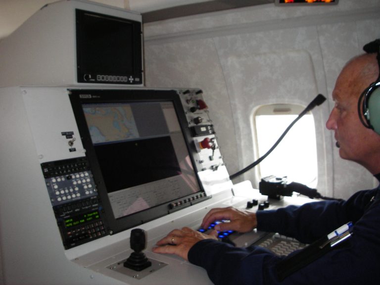
MSS 6000
MSS 6000
The MSS 6000 Airborne Maritime Surveillance System
The MSS 6000 Maritime Surveillance System gives a complete overview of the sea surface situation. Our experience is built into the product. Use it to protect your marine environment
The MSS 6000 is built for real time monitoring of sea surface activities. Typical missions include:
• General surveillance for protection of the Exclusive Economic Zone
• Oil spill tracking
• Border control
• Fishery surveillance
• Ship traffic control
• Search and rescue
The MSS 6000 has been delivered to more than 10 countries and is installed on a number of different types of aircraft.
The core of the MSS 6000 is a mission management system that links all available information together and presents a situation overview to the operator for interpretation and further action. The mission management system is based on GIS (Geographical Information System) technology, and the available information is presented against a backdrop of a digital nautical chart. The information from on board sensors and external inputs is presented live to the operator and also recorded digitally for later analysis.
The mission management system generates a number of pre-defined mission reports. These reports can be viewed, analysed and distributed in real time or completed and distributed after landing.
A post-processing station, located at the mission control centre and/or at the aircraft home base will allow replay of the mission data for continued analysis and processing.

